Our Services
From imagery to action, end to end.
Four connected capabilities that take you from raw drone or phone imagery to clear, plant-level guidance you can act on this week.

How it fits together
Four capabilities, one workflow.
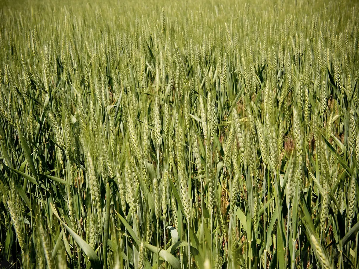
Plant-level detection
Per-plant classification and segmentation of disease and stress signatures.
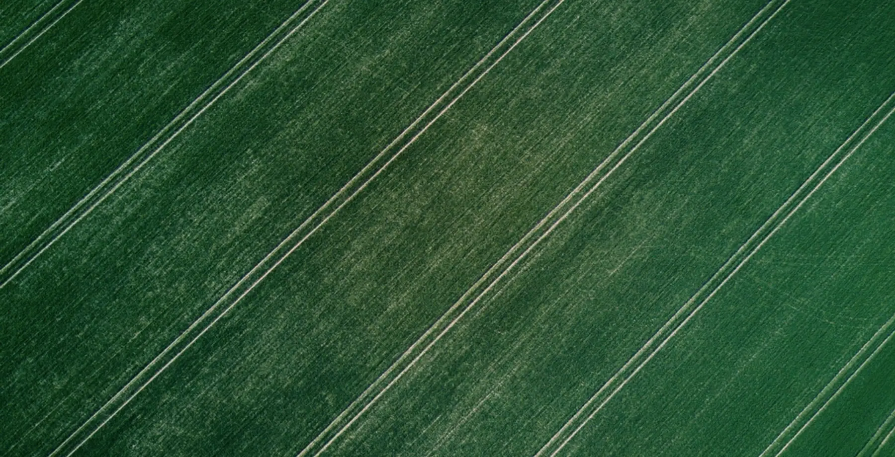
Imagery pipeline
Ingest, align, and pre-process drone and phone imagery into a consistent field record.
Agronomic alerts
Threshold-based and trend-based alerts so you hear about a problem while it is small.
Reporting
Field-level summaries and a reviewable history of what was seen and recommended.
What you receive
Guidance that points to the exact plants.
A per-plant map
See affected rows and plants highlighted on your field, not a vague heatmap.
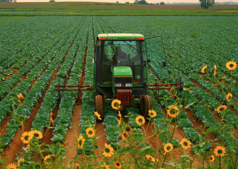
A recommended action
Treat, scout, or monitor — with the reasoning shown so you can decide.
A timely alert
Get notified as stress appears or spreads across repeat flights.
Note: Verdyn's guidance supports — it does not replace — professional agronomic judgement.